Welcome to GeoTechnoValley AeroX
-
Call Us Now
+91-94455 18523
-
We are Open
Everyday 9:00am -6:00pm
-
Send Us E-mail
info@geotechnovalley.com


Know about
Our Services

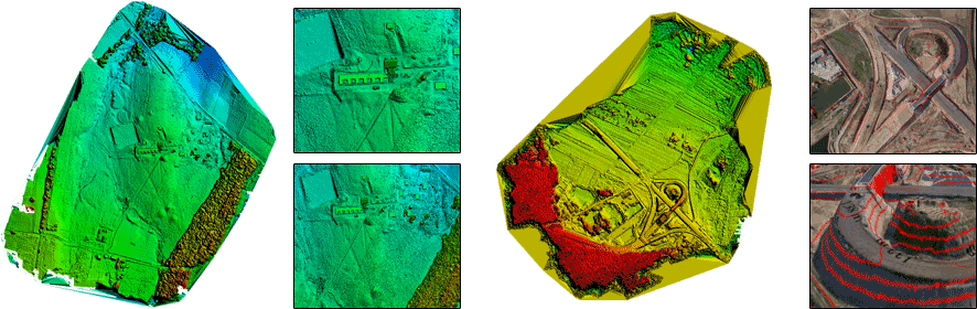
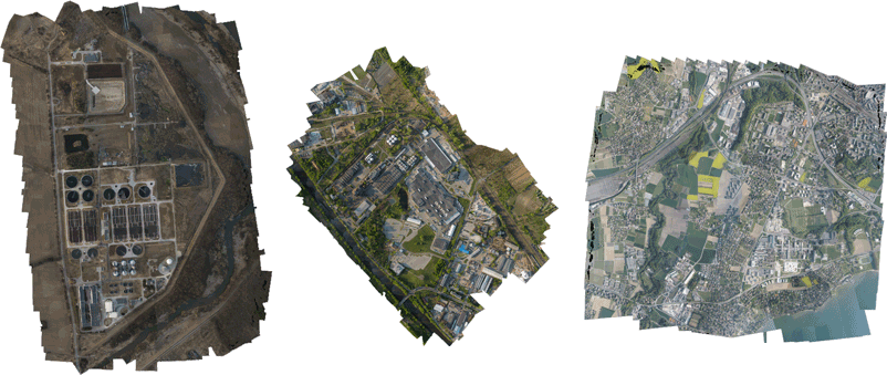
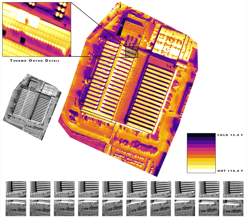
LiDAR & Photogrammetry
All Over India

Mining Solutions
All Over India

Drone/UAV
All Over India

GIS Service
All Over India

Remote Sensing
All Over India
Geophysical Survey
ALL OVER INDIA

Irrigation Surveys
All Over India

Hydrographic Surveys
All Over India

Transmission Line Surveys
All Over India

Oil and Gas Pipeline Surveys
All Over India

Airport Surveys
All Over India

Highway Surveys
All Over India